Squall Forecasts

Squall Forecasts

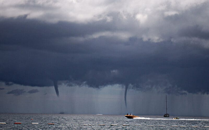
It is likely known that we can get GRIB formatted wind and pressure forecasts from numerical weather models such as GFS. But it is probably less known that we can get usable squall forecasts as well. We get this from the output parameter composite reflectivity (REFC), often called “simulated weather radar,” which is effectively what it is. Once we are in an area of squalls, we can watch them and maneuver around or with them using our marine radar, but it is often valuable to know when they are likely, how severe they might be, and how they will move.…
Read More
Vendée Globe Competitors to Deploy Scientific Testing Equipment

Vendée Globe Competitors to Deploy Scientific Testing Equipment

Twenty-five sailors competing in the Vendée Globe 2024, the biggest solo around-the-world race, will be launching oceanographic research and weather forecasting equipment during the voyage. The equipment is provided by the United Nations Educational, Scientific and Cultural Organization, who will train the captains in the use of the instruments. Once deployed, the equipment will collect and distribute data to scientists in real time looking to expand global knowledge of climate and the ocean. The goal is to improve operational weather forecasting services in less-frequented areas of the globe like the Big South, a remote section of the Southern Ocean. The…
Read More
How to Weave a Barometer into Navigation

How to Weave a Barometer into Navigation

Even in the age of high-speed internet at sea, remarkable weather model forecasts, and satellite wind measurements, our knowledge of the correct atmospheric pressure, and how it changes with time, remains the key to safe, efficient routing decisions. Pressure data are also the most direct means of evaluating the model forecasts that we ultimately rely on for routing. Productive barometer use in navigation is a relatively new concept — it was actually used more effectively in the 1700s than in the 1900s. The Barometer Handbook explains its interesting history and its role in marine navigation. The major change came when accurate, affordable…
Read More

Weather data for a safe passage

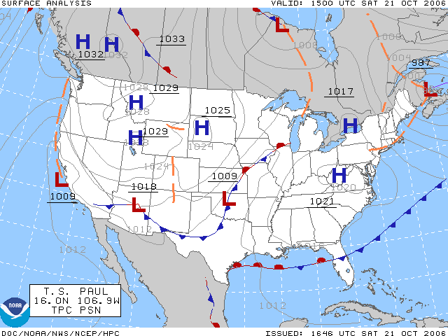
While we are underway offshore, wondering what the clouds above have in store for us, it is comforting to know there are electronic resources available to help us make crucial decisions regarding changes in weather. NOAA National Weather Service forecasts are available online at https://www.weather.gov/marine/, so as long as we have Internet availability aboard, we have access to weather data, allowing us to plan our ocean crossings according to conditions most likely to be encountered along our route. Daily NOAA weather charts cover the central Pacific, eastern Pacific, Atlantic, Alaska Sea and Great Lakes regions. These charts offer details on…
Read More
Hurricanes – Looking back and looking ahead

Hurricanes – Looking back and looking ahead

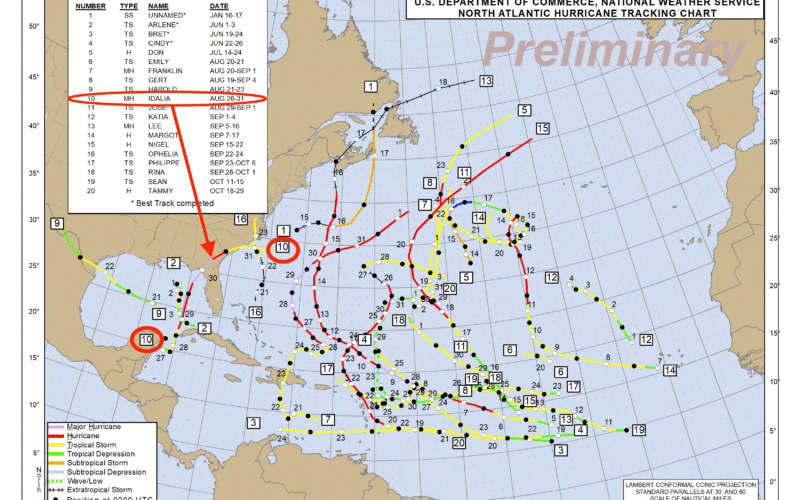
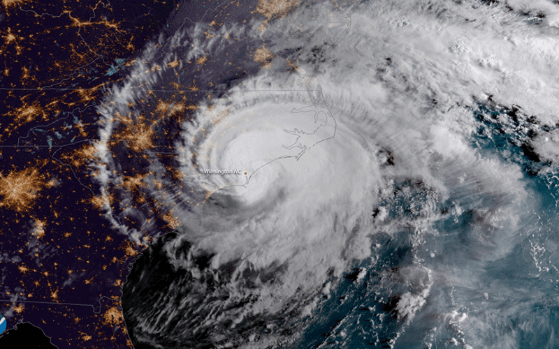
The World Meteorological Organization (WMO) recently announced the entrants to the “Hall of Fame” for the 2023 season. It’s not really called the Hall of Fame, but rather it is the WMO Hurricane Committee deciding which names will be retired from the previous season and not used again moving forward. The retirements of names occurs when a system is unusually impactful. Typically this means that the system was quite strong, and that it also impacted a large population. Occasionally, though, a system’s name can be retired even if it was not an unusually strong system, but its impacts were still…
Read More
Coastal Flooding

Coastal Flooding

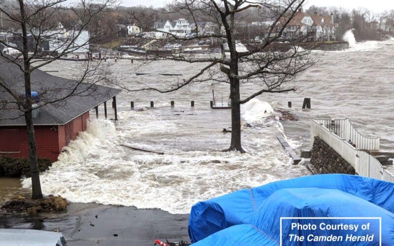
Among the hazards for those living or working in immediate or near coastal areas is that of coastal flooding. Coastal flooding occurs when ocean water moves into coastal areas, and is fundamentally different from flooding due to heavy precipitation, sometimes termed fresh water flooding. Fresh water flooding can occur in any area, but is more likely in low lying areas and near rivers or streams, not necessarily near the coast.  There are two major factors to consider when assessing the risk of coastal flooding. The first is the state of the tide, and the second is the presence of strong…
Read More
Ken McKinley to lead half-day weather seminar

Ken McKinley to lead half-day weather seminar

ON contributing editor Ken McKinley, who not only writes about weather topics for Ocean Navigator, but is a professional weather router who owns Locus Weather service in Camden, Maine, will co-present a marine weather seminar on March 17 at Bentley University in Waltham, Mass. The seminar is part of the Northeast Ocean Race Symposium, sponsored by the Marion Bermuda, Marblehead-Halifax and Bermuda 1-2 Races. This promises to be valuable session for ocean voyagers, who will get a solid grounding in weather at sea from McKinley, and fellow presenters Frank Bohlen and Joe Sienkiewicz. Essentials of Marine Weather, Ocean Currents and Sea…
Read More
Rapid intensification of hurricanes

Rapid intensification of hurricanes

by Ken McKinley In the previous newsletter I discussed the impact of upper level wind shear on hurricanes and how its presence or absence impacts changes in intensity of these systems. Thanks to significant improvements in the ability to observe these systems as well as the environments around them, mostly due to more sophisticated weather satellites and better mathematical modeling, there have been dramatic improvements in forecast accuracy over the past couple of decades. However, there is one aspect of tropical cyclone forecasting which has lagged behind in terms of improvement, and this is the phenomena of rapid intensification (RI).…
Read More

Vertical wind shear and hurricanes

by Ken McKinley   There is much more information disseminated about hurricanes today than there was a generation ago, which is a good thing. Back then, forecasts were not as accurate as they are today, and were generally sent only as text products. With widespread internet connectivity still in the future a generation ago, most members of the public and voyaging mariners got their information about hurricanes and their threats from radio or television reports. Some television meteorologists would generate graphics to show their audience, but they were not as sophisticated as they are today. These days the amount of…
Read More

Maui wildfires and Hurricane Dora

by Ken McKinley During the second week of August 2023 catastrophic wildfires have occurred in the Hawaiian Islands. The fires have been most severe over western portions of the island of Maui, and the town of Lahaina has suffered near total destruction in some areas. Many news reports have cited Hurricane Dora as the primary cause of the development and rapid spread of the Hawaiian wildfires, but this is not the case. Lahaina has been a significant yachting center for cruisers and racers in recent years and has a rich maritime history. Unfortunately there has been significant loss of life…
Read More