09
Feb
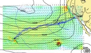
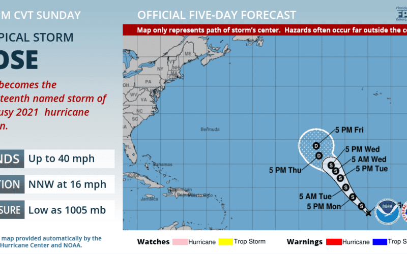
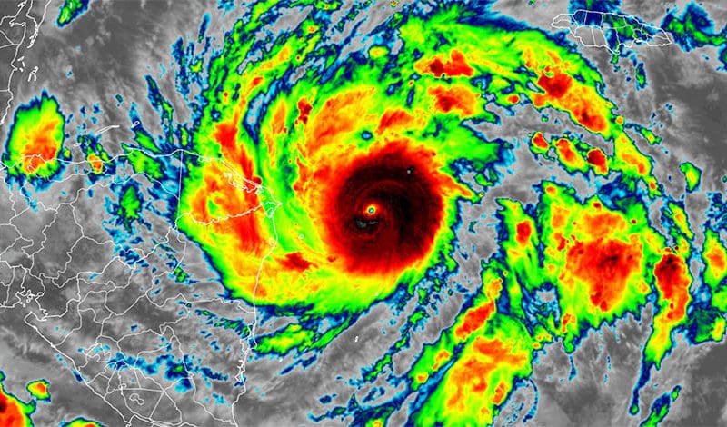
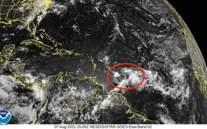
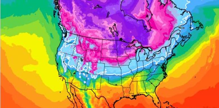
Satellite imagery provides a great deal of information on past, present, and future weather. Each cloud swirl, streak, and puff can be associated with a particular weather system or phenomenon. And when images are viewed by a trained voyager with a good understanding of weather dynamics, routing and course decisions can be made with confidence. The most important weather element that satellite imagery provides to the voyager is cloud data. Analysis of cloud altitude, shape, and movement goes a long way toward painting what the associated air mass is doing. Clouds are categorized by both their height and shape, with…