In the realm of modern maritime navigation and safety, two primary technologies stand out to me due to their significance: AIS (Automatic Identification System) and radar, derived from Radio Detection and Ranging. These systems play a critical role in providing essential information for vessels, assisting in collision avoidance, navigation and overall situational awareness. Although both AIS and radar share common objectives, they exhibit distinct differences in functionality, coverage and applications.
When contemplating how to approach this article, I found myself reflecting on my initial encounter with radar interpretation aboard a schooner in the Caribbean. Our charters were scattered, necessitating frequent deliveries between Puerto Rico and Antigua, often conducted during nighttime hours to adhere to our busy schedule. During these deliveries, I honed my radar interpretation skills, enabling me to make informed decisions regarding course adjustments rather than strictly and foolishly adhering to the rhumb line. The output on the monochrome screen proved to be straightforward yet immensely informative, allowing me to discern large vessels, identify landmarks, and anticipate impending squalls.
To assist me in writing this article, I tested my line of thinking by explaining the difference between AIS and radar to my eight-year-old daughter, Samantha. To help her visualize my explanation, I broke out one of my favorite pre-digital era games I used to play when I was her age: Battleship. For those unfamiliar with the Hasbro toy company game, players strategically position their five vessels, which range in length from two to five squares, on a two-dimensional grid in secrecy. The Y-axis is alphabetical, and the X-axis is numerical. Subsequently, each player takes turns targeting their opponent’s grid by specifying a location to attack by referencing an X-and-Y-axis coordinate. Upon receiving the guess, the defender announces either “Hit!” or “Miss!”. The objective is to tactically deduce the locations of the opponent’s vessels and eliminate them by hitting every point, thus sinking them.
My plan was to use the Battleship board to show Samantha the pros and cons of both systems. I started with radar, first by setting up my Battleship board while not allowing Samantha to view where I located my ships. Next, I asked her to call out each letter and number sequentially, working from bottom to top and left to right. This systematic method works in a sweeping function rather than random, intuition-based guesswork. By playing the game using this strategy, ships on the board become visible to Samantha only as she moves along the board, bottom to top, left to right. I explained to her that radar functions by emitting a signal and then detecting the echo to determine the distance and direction of solid objects, such as land or other vessels, and that this analogy resembles radar operation while underway.
We then reset the pieces for the AIS demonstration, and when ready, I simply revealed my board to Samantha while saying that using AIS automatically lets you know where all the pieces are on the board. With AIS, each vessel broadcasts its information on a network. Ahhh, but if only life were that simple and absolute. In reality, many variables are at play, and Samantha is not the one operating the boat or buying the equipment, so it is essential for me to be able to evaluate the pros and cons of both systems.
What is AIS?
AIS is a crucial radio communication system primarily utilized by ships and vessel traffic services (VTS) for identification and tracking purposes. Conceived in the 1990s by the International Maritime Organization (IMO) technical committee, AIS was crafted to bolster maritime safety and security by facilitating collision avoidance among large vessels navigating the seas. It furnishes real-time insights into vessel positions and movements, utilizing a high-intensity, short-range identification and tracking network. Through this framework, vessels can exchange vital information, such as vessel identity, position, course, speed and navigational status via VHF radio frequencies, which are then intercepted by other vessels and shore-based stations equipped with AIS receivers.
At the core of AIS functionality lies its ability to transmit distinctive identifiers allocated to each vessel, including Maritime Mobile Service Identity (MMSI) numbers, vessel names, call signs and dimensions. This precise, real-time, positional information distribution, facilitated by GPS technology for location reporting, enables vessels to track nearby ships’ movements and accurately assess collision risks. Through the exchange of vessel positions and trajectories, AIS enables proficient collision avoidance maneuvers, thereby diminishing the probability of maritime accidents. Furthermore, integration with Electronic Chart Display and Information Systems (ECDIS) bolsters navigational awareness and assists in route planning.
Despite its merits, AIS coverage remains confined to areas within the AIS infrastructure, primarily coastal regions and busy shipping lanes. Although AIS signals can traverse considerable distances, they are subject to constraints imposed by line-of-sight and VHF radio propagation limitations. Consequently, the range is limited to line of sight, which typically caps at an average of 20 miles for most recreational boaters, contingent upon the elevation of the VHF antenna. Moreover, susceptibility to signal interference and “spoofing” (deliberate tampering) raises apprehensions regarding the integrity and reliability of AIS data.
Since its inception, AIS has garnered myriad applications, underscoring its adaptability and efficacy in maritime operations. Beyond collision avoidance, AIS finds extensive utility in monitoring and regulating fishing fleet activities along coastlines, thereby augmenting maritime security efforts. Its role in maritime security extends to identifying vessels within exclusive economic zones, fortifying maritime domain awareness and control measures. Additionally, AIS aids in the dissemination of navigational aid positions and dynamic data, benefiting aids to navigation (AtoN) initiatives. AIS furnishes crucial vessel position and navigation status data in search-and-rescue missions, facilitating coordination and resource allocation.
Moreover, AIS data proves instrumental in accident investigations, furnishing precise historical insights into vessel movements and incidents. Furthermore, AIS contributes to ocean current estimation, infrastructure protection, fleet and cargo tracking and statistical and economic analyses. The diverse array of applications underscores AIS’s indispensability in modern maritime operations and safety protocols.
What is Radar?
Radar remains a time-tested detection system utilizing radio waves to ascertain objects’ range, angle and velocity within its scope. Widely employed in maritime settings, radar serves to detect vessels, landmasses, navigational hazards and adverse weather conditions.
The inception of radar is rich in history, tracing back to the late 19th century, rooted in the experiments of Heinrich Hertz, who discovered the reflection of radio waves by metallic objects. The groundwork laid by James Clerk Maxwell’s electromagnetism theories further propelled radar’s evolution. The early 20th century witnessed the emergence of radar-based systems, notably Christian Hülsmeyer’s ship detection device designed to avert collisions in fog. Subsequently, true radar systems, exemplified by the British Chain Home early warning system, materialized, offering directional insights over short ranges.
A pivotal breakthrough enabling modern radar systems was the development of radio energy pulse generation. By precisely timing these pulses on an oscilloscope, range and direction measurements became feasible, furnishing insights into a target’s location relative to the antenna. Eight nations’ covert development of radar systems during World War II ushered in rapid progress, significantly contributing to the Allied victory. Fundamental innovations, such as the magnetron, originating in the UK, revolutionized radar technology, yielding compact systems with enhanced resolution.
Post-war radar expanded into civil aviation, marine navigation, law enforcement, meteorology and medicine. Notable advancements included the introduction of coherent microwaves via traveling wave tubes, signal delay systems facilitating phased array radars and the integrating of solid-state computers to enhance signal processing capabilities.
Diverging from AIS’s reliance on transponder signals, radar emits electromagnetic pulses and gauges their reflections to construct a visual depiction of the surroundings. Offering broader coverage and extended detection ranges compared to AIS, radar excels in long-range surveillance and early threat detection. Capable of detecting targets beyond the horizon and ensuring continuous environmental monitoring, radar assumes a pivotal role in maritime surveillance and security operations. While AIS has gained prominence with the advent of GPS chartplotters, radar remains indispensable, especially in scenarios of restricted visibility. However, radar’s efficacy is contingent upon interpretation and it may struggle to discern vessels with minimal radar signatures, such as fiberglass yachts.
In contrast to AIS, radar systems can detect objects over significant distances, depending on variables such as antenna elevation, power output and atmospheric circumstances. Unlike AIS, which can be affected by adverse weather or radio interference, radar operates consistently across diverse conditions, including fog, rain and low light. Besides detecting vessels, radar also identifies obstacles, such as buoys, rocks and shorelines, providing essential navigational information to sailors. With the ability to track multiple targets simultaneously, radar enables vessels to monitor nearby traffic and preempt potential collision hazards.
Despite its reliability in adverse conditions, radar confronts challenges in target identification and classification, with radar returns susceptible to sea clutter, rain and environmental variables, potentially resulting in false echoes or compromised performance in specific scenarios.
Conclusion
Navigating the complexities of maritime technology can feel like tumbling down a rabbit hole. In such intricate realms, simplicity often serves as my guiding principle. The more systems we introduce, the greater the potential for complications. Moreover, I believe our growing reliance on technology might be inadvertently dulling our capabilities and awareness. For me, Santa Monica Bay is a familiar playground, with Catalina Island standing as our primary cruising destination for our sailboat. Yet traversing the 40-mile journey from Marina del Rey to Catalina involves navigating a bustling commercial traffic channel servicing one of North America’s busiest shipping ports.
Throughout my sailing adventures, risk reduction remains paramount. As a seasoned recreational sailor, I do my best to time my passages meticulously to coincide with daylight hours, minimizing potential hazards. However, unforeseen circumstances can arise. Picture a scenario where the wind falters, leaving me with 20 miles to cover and only three hours until sunset. In such moments, the value of technological aids becomes apparent. Three years ago, the prospect of integrating an AIS transponder into our vessel sparked discussion. Yet, after weighing the costs against potential benefits, we opted to defer the decision.
The perennial debate between AIS and radar persists. However, why settle for one when the fusion of both heralds the ultimate solution? Despite their contrasting attributes, the joining of Automatic Identification System and radar offers a profound enhancement to maritime situational awareness and safety. By capitalizing on the distinctive strengths of each system—
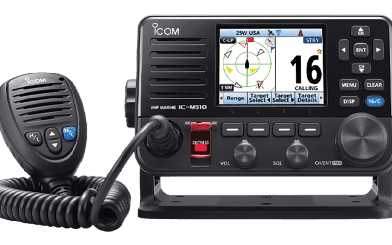
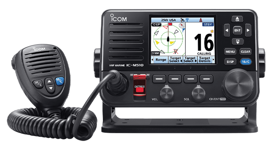
AIS for vessel identification and tracking and radar for weather surveillance and obstacle detection—mariners can navigate with unparalleled confidence and precision. Contemporary navigation systems frequently integrate AIS overlay functionality, seamlessly melding AIS-derived vessel data with radar displays. This symbiosis empowers mariners to visualize AIS-equipped vessels alongside radar-detected targets, facilitating astute decision-making and navigation in bustling waterways.
Undoubtedly, radar and AIS serve as indispensable cornerstones of modern, maritime navigation, each offering complementary functionalities that enrich safety, efficiency and situational awareness at sea. While radar excels in long-range detection and all-weather surveillance, AIS streamlines vessel identification and bolsters collision-avoidance efforts. Mariners can navigate diverse maritime environments with heightened safety and efficacy through judicious integration and data fusion. As technological advancements continue to progress, the synergy between radar and AIS will continue to shape the future of maritime navigation and safety.
Looking ahead, it’s evident that radar and AIS will undergo further evolution to meet the demands of maritime navigation. Anticipated developments include enhanced integration capabilities and refined data-fusion techniques, seamlessly blending radar, AIS and emerging technologies like artificial intelligence and machine learning. These advancements hold the potential promise of automating collision avoidance and navigation tasks, ushering in a new era of efficiency and safety on the high seas.
The dichotomy between AIS and radar ultimately gives way to appreciating their complementary nature. By embracing the integration of these systems, mariners can harness a synthesis of capabilities, navigating with heightened awareness, efficiency and safety. As technology propels us forward, the synergy between radar and AIS will persist as a cornerstone of maritime navigation, guiding vessels through the intricacies of the seas with unwavering confidence and precision.
Will Sofrin is an experienced ocean sailor and nautical author.