Navigational lights located on aids to navigation can provide an excellent way to verify your position when coming into coastal waters. Here are some factors to remember when dealing with navigational lights on lighthouses, lighted daymarks, light towers and buoys.
Characteristics
Navigational lights are given a characteristic light pattern to help mariners identify the light. These range through a variety of types:
- Fixed
- Single occulting (light is on longer than it is off), group occulting, composite group occulting
- Isophase (light is on as long as it is off)
- Single flashing (light is off longer than it is on), group flashing, composite group flashing, long-flashing
- Quick flashing, group quick flashing, interrupted quick flashing (the light quick flashes and then has a period of being off before resuming quick flashing)
- Very quick flashing, group very quick flashing, interrupted very quick flashing
- Ultra quick flashing, interrupted ultraquick flashing
- Morse Code (such as a Morse A, dot-dash)
- Fixed and flashing
- Alternating (alternating colors, red and white, for example)
Colors and sectors
In addition to its characteristics, lights may be different colors, including white, red, green and orange. Lights on buoys are colored green on green buoys and red on red buoys. Special purpose buoys (white and orange striped) have orange lights. Mid-channel markers and LNBs typically have white lights.
Fixed lights follow the same rules. A light on a day marker conforms to the color of the dayboard. Lighthouses, however, are typically white. The reason for this is that white light is visible for the greatest distance given equal inputs of power.
Some lighthouses have sectors of their arc that have different colors. Most frequently, a white light will have a red sector that shines out over an area with hazards. This helps warn mariners who might be homing in on the light that they are standing into danger. Other lighthouses have schemes for homing where a white light indicates that the vessel is on track and a green or red indicates that the vessel is to one side of the track or the other.
These colored sectors are marked on charts with dashed lines radiating out from the light. There is typically an arced line running between the two boundary lines with a label “red sector” and “white sector.”
The nominal range of colored sectors is less than the nominal range of the white light. On some lights this will be noted with a separate nominal range listing for the colored sector, but for most this is left to the imagination of the navigator.
Geographic range of a light
The visibility of lighthouses is printed on charts in terms of nominal range. This is a rating of the power of the light and describes the distance at which the light will be see in standard “clear” conditions.
There are factors which may change that. The most obvious factor is worsening visibility. As precipitation, haze or fog thicken, the distance that a light is visible will diminish. A table for determining the distance that a light with a certain nominal range can be seen is printed at the beginning of the Light List. The toughest part about using the graph is that the quality of visibility must be known. This may prove difficult. The result is considered the light’s luminous range, or the distance it can be seen in the prevailing visibility conditions.
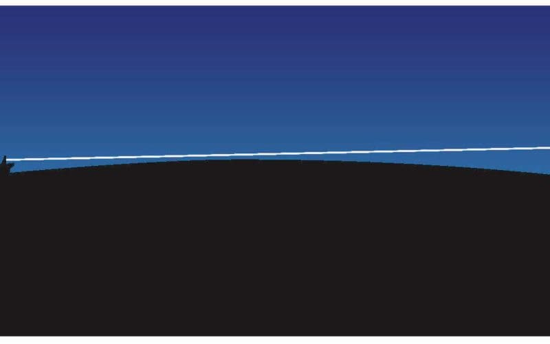
The easiest factor to quantify is the problem of the curvature of the earth’s surface. Depending on the height of eye above sea level, it is possible to see another object at only a certain distance no matter how bright its light. There is a simple formula for this:
Distance (in miles) = 1.17 √h (in feet)
With a height of 9 feet above the water, a navigator may see the horizon at 1.17 √9 = 1.17×3 =3.5 miles. This may not seem very far when compared to, say, a lighthouse with a nominal range of 18 miles. However, the height of the light is above sea level as well. This height is listed on the chart next to the light.
So, the geographic range (how far the light is visible before the horizon gets in the way) of the light must also be determined using the same formula. Take a light that is 100 feet above sea level and has a nominal range of 18 miles. The geographic range is 1.17 √100 = 1.17×10 = 11.7 miles.
To determine how far away the light is visible to us, merely add the geographic range of the light to the distance from our height of eye to the horizon.3.5 +11.7 =15.2 miles. This is less than the 18-mile nominal range of the light and therefore we should see the light at approximately that distance.
Bobbing a light
Apart from helping to determine if a light is in view or when it might be in view, this information may also be used to determine a circle of position using a technique called “bobbing the light.” This is only effective if the nominal range of the light is greater than or approximately the same as the geographic range and the visibility is clear. In other words, the geographic range must be the limiting factor.
The navigator will probably see the loom of the light before it becomes visible over the horizon. When it does become visible, the navigator then knows that the vessel is the same distance from the light as the geographic range. By taking a bearing to the light at the same time, the navigator has a fix.

