One big lesson I learned from Hurricane Irene is that water from above can be as devastating as wind or water rising from below in a storm surge. Upstate New York and Vermont were on the "wet side," or the west side of the eye of Hurricane Irene, with some areas receiving more than a foot of rainfall within a few hours. This has caused the extensive flash flooding and damage widely reported on major news services. However, many boaters assumed that dam and lock controlled waterways in these regions would be safe havens from the storm, which proved to be a false assumption.
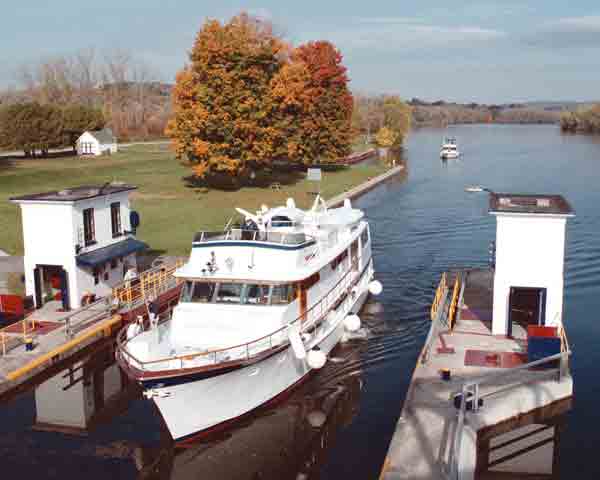
Not only did the amount of water overwhelm smaller streams and rivers, but it also produced enough volume to overflow the tops of dams and locks on both the Erie and Champlain Canals in upstate New York. The Erie Canal connects the Hudson River from Waterford, N.Y., north of Albany, to the western part of the state and the Great Lakes. The Champlain Canal is somewhat smaller and connects the Hudson to Lake Champlain. In both canals boaters tried to shelter in both the river portions and within the locks of the canals, but extreme water levels overtopped the locks as can be seen in photos on the Times Union's website. Scary!
The result is that the entire Champlain Canal and the Erie Canal between Waterford and Frankfort are closed until further notice, according to the New York State Canal System website. Both of these routes see heavy pleasure boat use all summer long, and are popular migration routes for Canadian and U.S. boaters heading south in the fall. However, at this time, the canal system is reporting major damage to lock structures, machinery, controls, and other parts of the waterway. Needless to say, less significant structures, like buoys and docks, have been severely damaged or simply disappeared.

