The last night of a summer cruise is bittersweet. Food lockers are diminished, dirty clothes exceed the clean, and there’s relief in not having to choose another safe harbor for the night, but the freedom from land cares also soon will end.
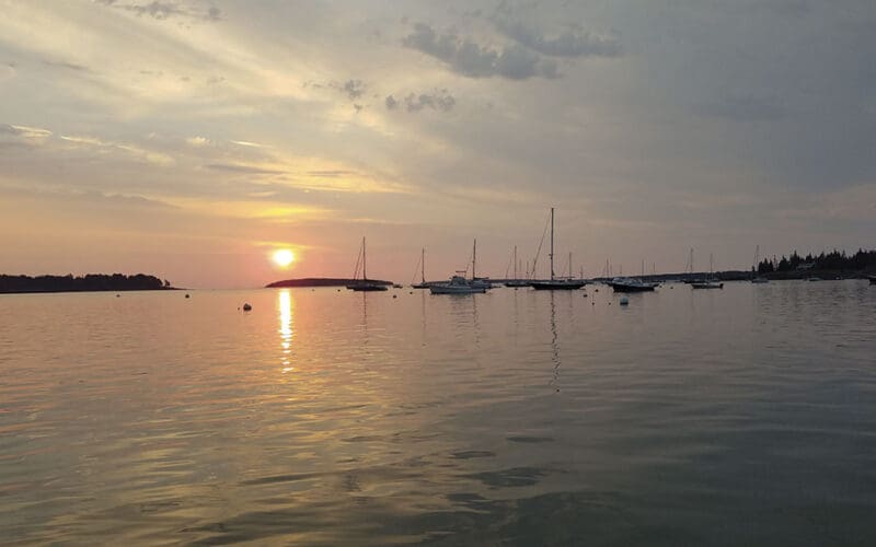
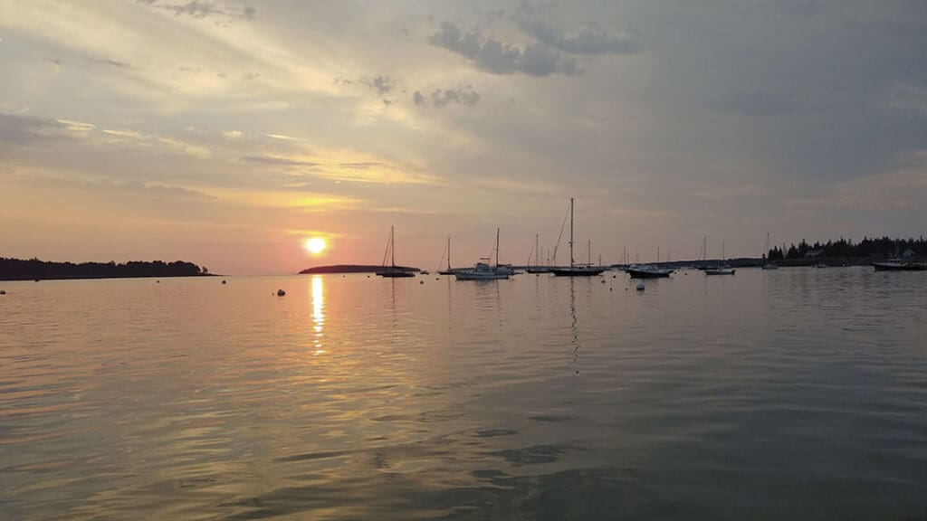
For Tom and me on Ora Kali, returning home means a final sail out of the Gulf of Maine and into sheltered Frenchman Bay. On the last morning of last year’s cruise to Penobscot Bay and back, we dropped the mooring at Southwest Harbor at 0945 with just a few high clouds, wildfire haze obscuring the heights on Mount Desert Island and a light north wind.
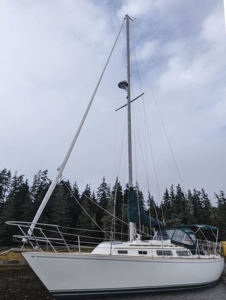
Ora Kali had spent most of her previous life with owners in Maryland and New Jersey, but as a Sabre 30, she was built in Maine. We sailed her home here a couple years ago, and in the process learned how to cruise on a small boat. She was small, at least in contrast to our bluewater boats. One thing we became well aware of is the need to plan carefully to make distance. The 17-plus miles straight-line distance today would translate into considerably more by the time we tacked up Frenchman Bay.
We had the engine off by 1000 so we could reach down Eastern Way in the lee of Mount Desert Island, or MDI as the locals call it, where the water was flat except for the wakes of nature tour boats heading out. These are the glorious mornings sailors live for. We exited the passage, passed the entrance to the Rockefeller enclave of picturesque wooden boats at Seal Harbor, East Bunker Ledge – with its strange, pyramidal granite monument topped by an empty flagpole – and sailed into the open Gulf. The wind was still out of the north at around 8 knots. I was at the helm. I asked Tom to bring up seltzers and a chocolate energy bar, and he was just settling back into the cockpit when WHAM! A gust slammed Ora Kali across her port beam. I immediately eased the mainsheet and she came mostly upright, tore along for a minute, and then the gust passed and she sailed calmly as if nothing untoward had happened. We were a quarter mile off Hunters Beach Cove, an indentation in the coast. The sun glinted off cars lined up on the Acadia Park Loop Road.
As I watched, a dark patch appeared on the otherwise flat water and raced toward us.
“Dump the traveler!” I yelled to Tom.
He yanked the port traveler control line out of the cam cleat and let it go. Ora Kali was full broadside to the wind. We had all sail up, and even with the traveler dumped, it threatened to lay her on her side. I had never laid a sailboat over far enough to be called a knockdown and didn’t feel like doing it now. When the gust passed, the wind returned to 7 or 8 knots, way too light to warrant putting in a reef. Tom centered the traveler car, and with the main filled, we sailed on.
What was causing these conditions?
When Tom and I first sailed to the Caribbean in the 1990s, the fleet, mostly made up of small bluewater boats like our Galeforce 34, took the thornless path to get east, which involved leaving on a northeast bend in the trade winds, and when we got to the big islands, catching the katabatics. These are nighttime winds that drop off the highlands rimming the coastline as heavy, cool air at the heights descends to replace warm surface air off the ocean, pushing back the tradewinds. We spent several magical nights making easting by reaching along the coast of the Dominican Republic and then finding anchorages during the day. Though technically incorrect, we called these winds “williwaws;” the real williwaws are katabatics that happen at cold, high latitudes.
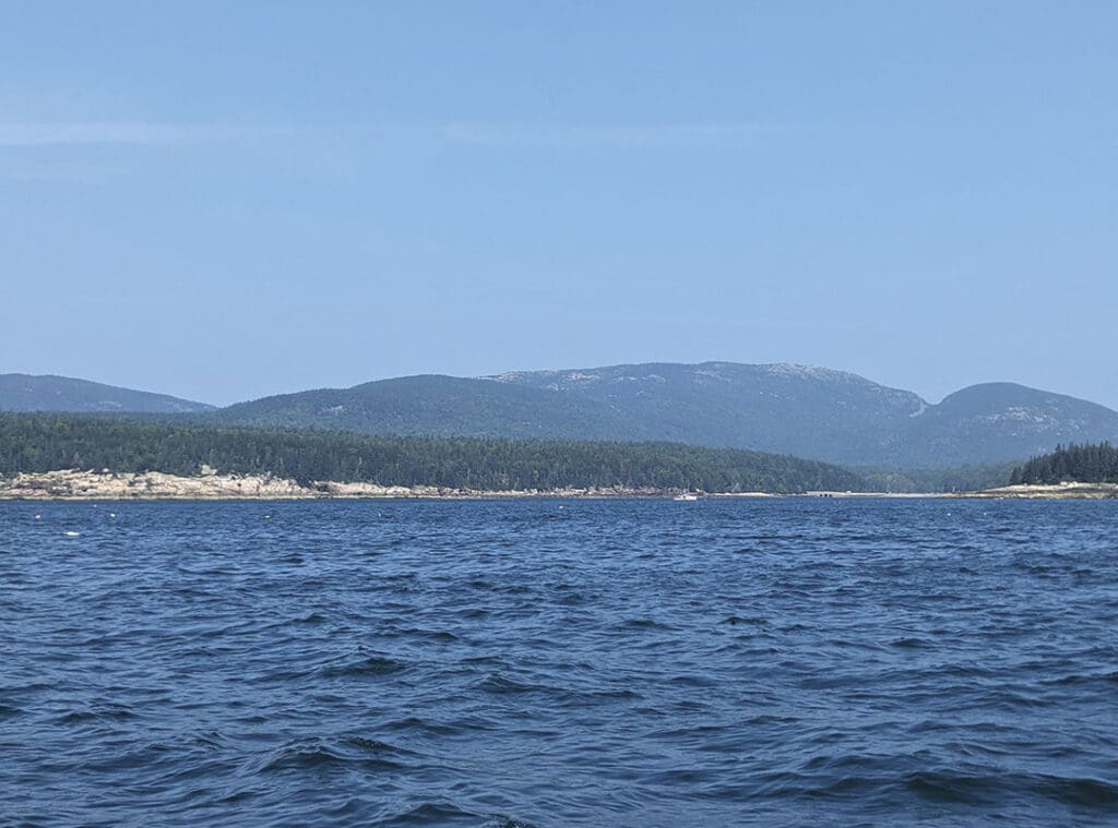
The wind dynamics south of MDI can be traced to the island’s beginnings 500 million years ago. The geologic forces that molded this 108-square-mile lump of rock—erosion and volcanic and tectonic movement of the earth’s crust—created 30 named peaks rising from sea level, all but one of which run north-south separated by broad valleys. Mount Cadillac, 1,530 feet tall, is only three miles from the coast, and the highest point within 25 miles of the Atlantic shoreline anywhere on the North American continent between Nova Scotia and Mexico.
We could have been experiencing the north wind funneling through mountain passes, which can cause the wind to rush down as through a tunnel with considerable speed, but I doubted it was just this.
Mike Dorfman, a software engineer at Verisk Analytics, runs the Weather Guy on the MDI Facebook page. I asked him for some local knowledge about the phenomenon. He said he didn’t have an official scientific explanation, only more evidence and a theory. “I’ve hiked both Gorham and Champlain Mountains and have noticed that the wind forms ‘cats paws’ in fascinating patterns along the water. I’ve seen generally the areas of water with steeper and/or taller terrain upwind often have significantly more intense and varying wind patterns. I suspect there are lee eddies just behind the terrain, and when these turbulent eddies reach the water’s surface, (they cause) the gusts.”
Ever since I crossed the South Pacific on Oddly Enough, I’ve been fascinated by local effects. In those vast stretches, we were often the only ones to experience local weather, which is synoptic weather conditions as they exist over a broad area but are modified by local conditions. In this same way, local winds are those shown on synoptic weather maps but modified by friction or other topographic or thermal effects. Wind conditions in the mountains are of particular concern to forest fire fighters, and the National Wildfire Coordinating Group says there is no substitute for an adequate understanding of local wind behavior.
Dorfman called the gustiness below MDI’s mountains “lee eddies.” But eddies imply change of direction, and we saw no change in direction, only a big increase in wind speed in the gusts.
What we experienced is more likely to be a version of a mountain wave. According to NOAA, air flowing across a mountain range usually rises relatively smoothly up a slope but once over the top, pours down the other side with considerable force. It can bounce up and down, creating eddies and turbulence. It also creates powerful downdrafts as well as vertical waves that may extend for great distances downwind. The mountain wave phenomenon is not limited to high mountain ranges, such as the Rockies, but is also present to a lesser degree in smaller mountain systems and even in lines of small hills.
The ocean south of MDI is heavily dotted with lobster floats. In the lee of the island, the colorful floats looked like harmless confetti when the water was calm, but a when a gust hit, I couldn’t head up to pass safely above nearby pots and so risked being blown down on them. Though we were sailing, we could still catch a pot warp in our propeller or rudder. We developed a rhythm: Tom stood where he could reach the traveler control line and also watch for the next wind line to race towards us while I watched for pots to leeward. When I felt the gust about to hit, I yelled for him to dump the main, and then we hung on until it passed when he brought the traveler back up. Our Harken mid-range traveler system was rigged 3:1. It was easy enough to reach the controls under the dodger, but the rig didn’t have a big throw. Reefing the main would have left us wallowing between gusts, even more vulnerable to their force. When I got tired of this, I headed off the wind to gain distance from MDI and try to escape the gustiness and the worst of the pots.
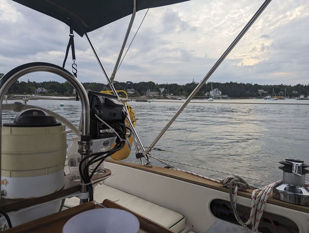
After Otter Cove, the coast trended north into the wind, and our first tack took us easterly. Once we passed the bottleneck of Porcupine Islands, which guards Frenchman Bay, we were on open water and the lobster floats were few and far between. Our chartplotter, a reliable Simrad GO7 XSE, showed a classic zigzag course as we tacked across the wind that held steady out of the north. Over a total trip of six hours, we motored only 15 minutes to exit Southwest Harbor until we had crossed the bay and stood off Sorrento to take the sails down. Then we motored onto Ora Kali’s mooring.
Our house and car were a half-mile from the harbor. We would be walking home. After tying on sail covers and tidying up, we filled our backpacks with only necessities, like books we were in the middle of reading, and kit bags. We could bring Ora Kali into the dock later to unload gear and food.
My logbook for this final entry of our summer cruise ends simply, “Home!”