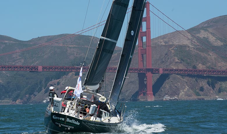
A participant in the 2018 Pacific Cup outbound through the Golden Gate. Race organizers are currently offering a series of seminars to prepare racers for the 2022 race. The Pacific Cup (Ocean Navigator is a co-sponsor) will start on July 4, 2022, sailing from San Francisco to Kaneohe, Hawaii. The race has 80 entries at press time. One of the distinctive aspects of the race is the extent that race organizers offer participants a range of opportunities to learn as they get ready for offshore sailing. This includes a slate of seminars — dubbed “The Pacific Offshore Academy” — and…
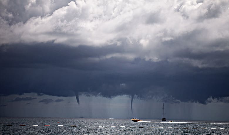
It’s not often you can get a briefing from world experts on a subject, but voyagers will have an excellent chance to do just that when the National Hurricane Center in Miami hosts the 2022 Mariner’s Weather Hazards Workshop on March 15 to 17. The Seven Seas Cruising Association is actively promoting the session to its members and you can find out more on its website (SSCA.org). The virtual event will cover a wide variety of topics related to extreme weather. Subject matter scheduled for coverage includes: a 2021 Hurricane Season Recap; NHC tropical cyclone forecast products and uncertainties; 40-minute…
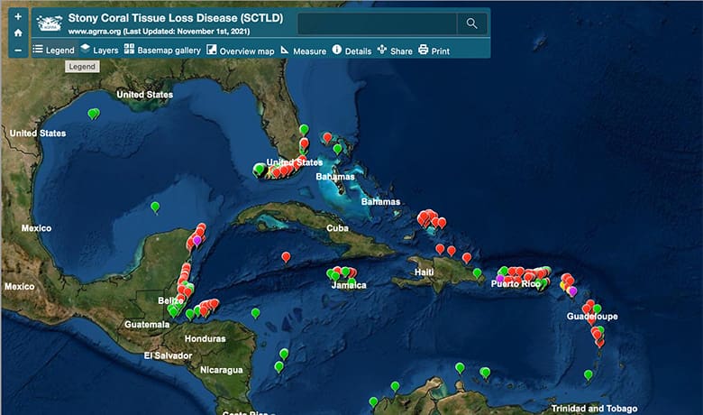
Stony coral tissue loss disease (SCTLD), is now seen in Caribbean reef areas and in nearshore reef areas. First identified in Florida in 2014, SCTLD has become prevalent across the Caribbean tropics, affecting more than 30 varieties of corals. One problem is confusion with coral bleaching, a process caused by water temperature/UV sunlight damage. The white patches on corals look similar, but one is a stress response while the other is an infection. There are several papers to assist in coral disease identification, such as the Atlantic Gulf Rapid Reef Assessment (AGRRA) presentation at www.agrra.org (click on “Coral disease outbreak” and…
In November 2019, NOAA announced a five-year program to end paper nautical chart production and convert entirely to electronic navigational charts, or ENCs. This process, which NOAA calls sunsetting, means the big paper charts that hang on people’s walls and require large chart tables on ship bridges and nav stations on cruising boats, will in another few years be unavailable from print-on-demand certified NOAA agents. It also, and more seriously for the recreational boater, means the cancellation of its RNCs, or raster navigational charts, which are electronic images created by scanning printed paper charts and recreating them in raster picture…

By Bob Shepton Independently Published, 2021 265 pages, $20, ISBN-13: 979-8521256938 How many people in their 86th year sail throughout the islands and coast of Scotland, then from England to the Canaries via Biscay and Madeira, and then make yet another cruise of Scotland in the cold and gales of autumn? And all this while also readying his latest book for publication? Of course, none other than the unstoppable polar sailor and mountaineer Bob Shepton. The Reverend Bob Shepton, an ordained minister in the Church of England, has been traversing the high seas and making first ascents of formidable walls…
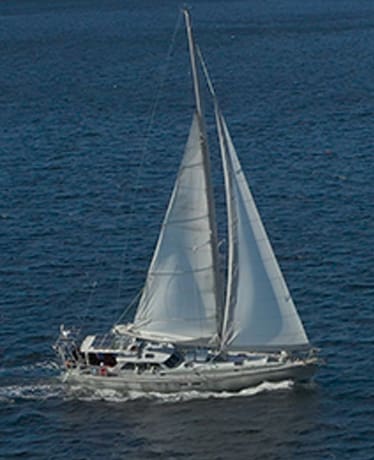
The vessel’s aluminum hull, lifting keel and swing up rudder aid it in dealing with northern ice. Some vessels just look the part and that’s certainly the case for the 56-foot aluminum expedition sloop Arctic Earth. Based in Camden, Maine, Arctic Earth is a vessel designed and outfitted to sail to high latitudes. The boat is operated by David Conover and Compass Light Productions, a documentary film company focused on science and environmental content and specially tuned to Arctic issues. Compass Light has produced more than 600 films for outlets like Discovery Channel, Science Channel, PBS Nova and more. A…
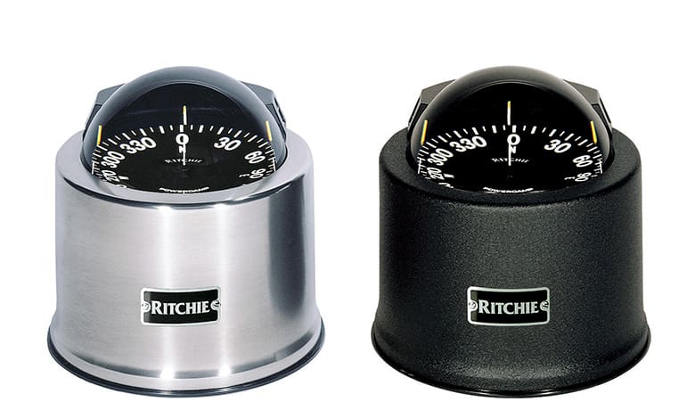
In a world of GPS and LCD screens that can display any navigation parameter possible, does the floating-card magnetic compass still make sense? To pose the question is in a sense to answer it, so let’s look at the value a magnetic compass provides to the voyager. In addition to the classic magnetic compass, for some time now voyagers have had electronic versions of the compass. The most common of these being the magnetic fluxgate. While fluxgates use electronic signal processing to provide a readout of direction to the user, at their heart they determine direction by sensing the earth’s…
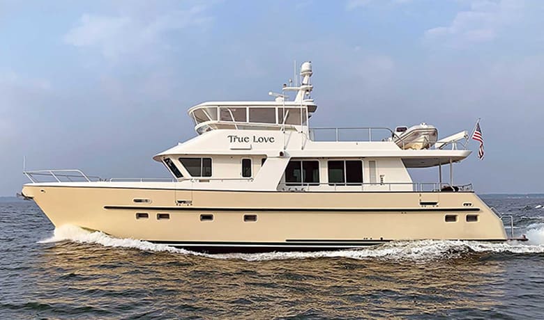
“Jeff, you would be proud of me. I was alone onboard and lost power in the middle of the night. The first thing I thought of was that maybe the onboard shore power breaker tripped. I grabbed a flashlight and looked where you showed me the breaker was located. It was a simple fix to cycle the breaker and restore power, thank you!” (Cindy C. – Selene 53). All of the comforts of home are expected features aboard trawlers. The underlying source that allows us to indulge as if we were ashore is the magic of electricity. You probably don’t…
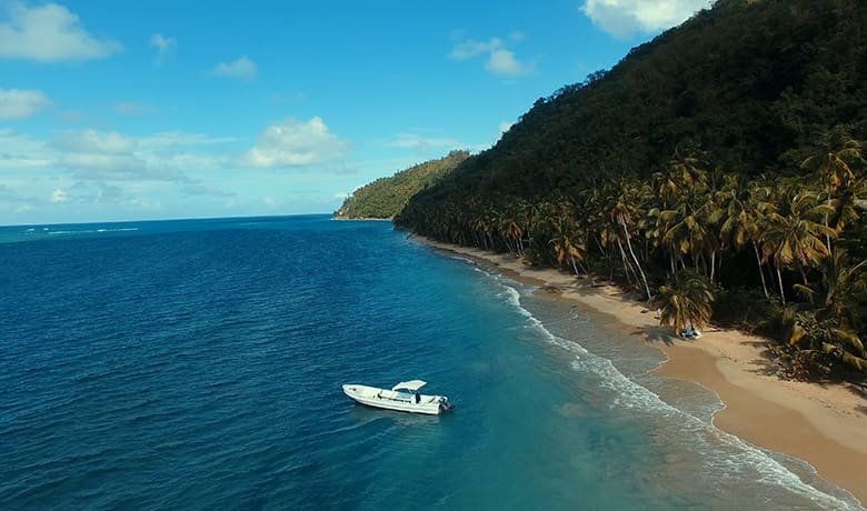
A lone tourist excursion boat anchored off Jackson Beach while her passengers relax on shore. Sooner or later anyone who relies on navigational charts finds mistakes. The “magenta line” for the Intracoastal Waterway takes them aground. That shoal is actually 100 yards from where the chart says it should be. Or the chartplotter depicts your boat actually moving over land somewhere. Most of these cases are errors of measurement, and they usually involve underwater features.There is, however, an exception. It is an unusual case in which the world’s most prominent mapmaking agencies have failed to acknowledge the disappearance of an…
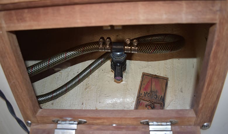
My first experience with rats onboard happened years ago when I borrowed a friend’s Catalina 28 for a long-range cruise. The first night out my girlfriend heard strange clicking noises coming from the bilge and was convinced we had a rat problem. I set a trap and spent hours searching every nook and cranny — I found nothing but a rusty screwdriver and a can of beans. I told my problem to an old salt I knew and he laughed, “those were mating shrimp you were hearing, Rookie!” Though somewhat embarrassed, I was still happy there were no rats on…

