03
May
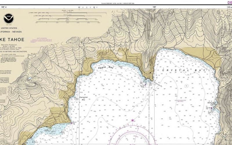
An obscure press release from NOAA on February 26, 2021, made an announcement about the availability of a chart in its catalog. Though the chart in question might never be used by ocean sailors, this release from NOAA was a big deal both for the history of US nautical charts and for their future. The announcement stated that as of August 2021, chart no. 18665 — the NOAA chart for land-locked Lake Tahoe, Calif. — would no longer be available in paper form from NOAA chart dealers. This first phase-out of a paper chart is part of a program that…