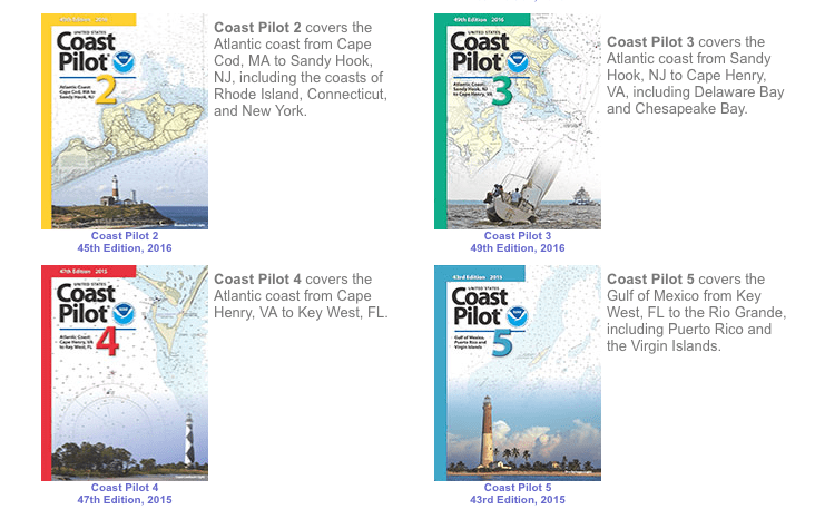
Not all the navigational information about U.S. coastal waters is included on NOAA charts (either paper or electronic). The extra stuff is included in the U.S. Coast Pilot, which is published in nine regional volumes. The pilots, first published in 1858, have changed from black and white only to color to book-length electronic files available for download. Now the Coast Survey has enabled interactive digital technology to give mariners a more accessible product.
The Coast Survey explained further: "Breakthroughs in digital editing and publishing have allowed us to produce the U.S. Coast Pilot in a digital format called extensible markup language (XML). People won’t notice a difference from the original format — it looks the same as the paper copy — but the online version has some neat interactive features. To find them, go to the U.S. Coast Pilot, select your volume, and then click on a chapter in the left hand HTML column.
This new version of the U.S. Coast Pilot is formatted for reading on the web. Certain place names and objects, highlighted in green, are now directly view-able on a nautical chart and linked to entries in the official U.S. Geographic Names database. Some other features include:
• images that enlarge when clicked;
• an interactive table of contents for each book; and
• raster nautical chart links (highlighted in light blue) that can be viewed with each section in the book.
Coast Survey updates the Coast Pilot weekly, and now readers can see where we made changes. The system automatically highlights changes (in gray), and retains those highlights until the next annual version is published. (The print-on-demand paper copy contains all updates made up to the time of printing.) The annual versions are published on a staggered yearly schedule.
Contact coast.pilot@noaa.gov with any questions or comments about the Coast Pilot, the format, downloads, or XML code."
In the post it is noted that a tablet- or laptop-sized screen is required, the system is not mobile friendly.

