03
May
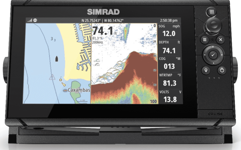
Egersund, Norway – Simrad Yachting – a division of Navico® and leader in the design and manufacture of world-class marine navigation, autopilot, radar, communications and fishfinding systems – announced today that consumers can get up to $100 cash back on Cruise chartplotters during the Simrad Cruise Sales Event, running from May 1 through July 31, 2021. Simrad Cruise is the most intuitive, easy-to-use chartplotter available. Everything needed for simple and straightforward GPS navigation is right inside the box including a sunlight viewable display with United States coastal charts, mounting bracket and a transducer. Simrad Cruise can display charts, navigation and sonar in…


