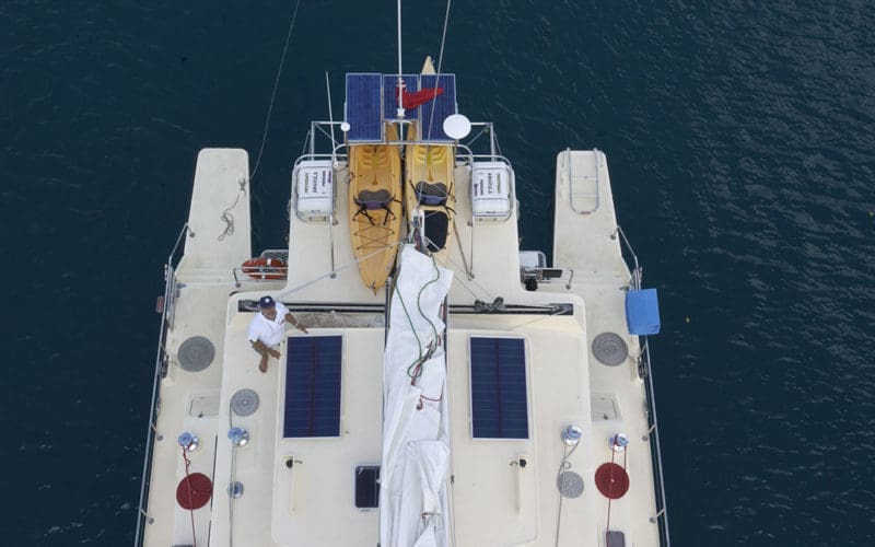
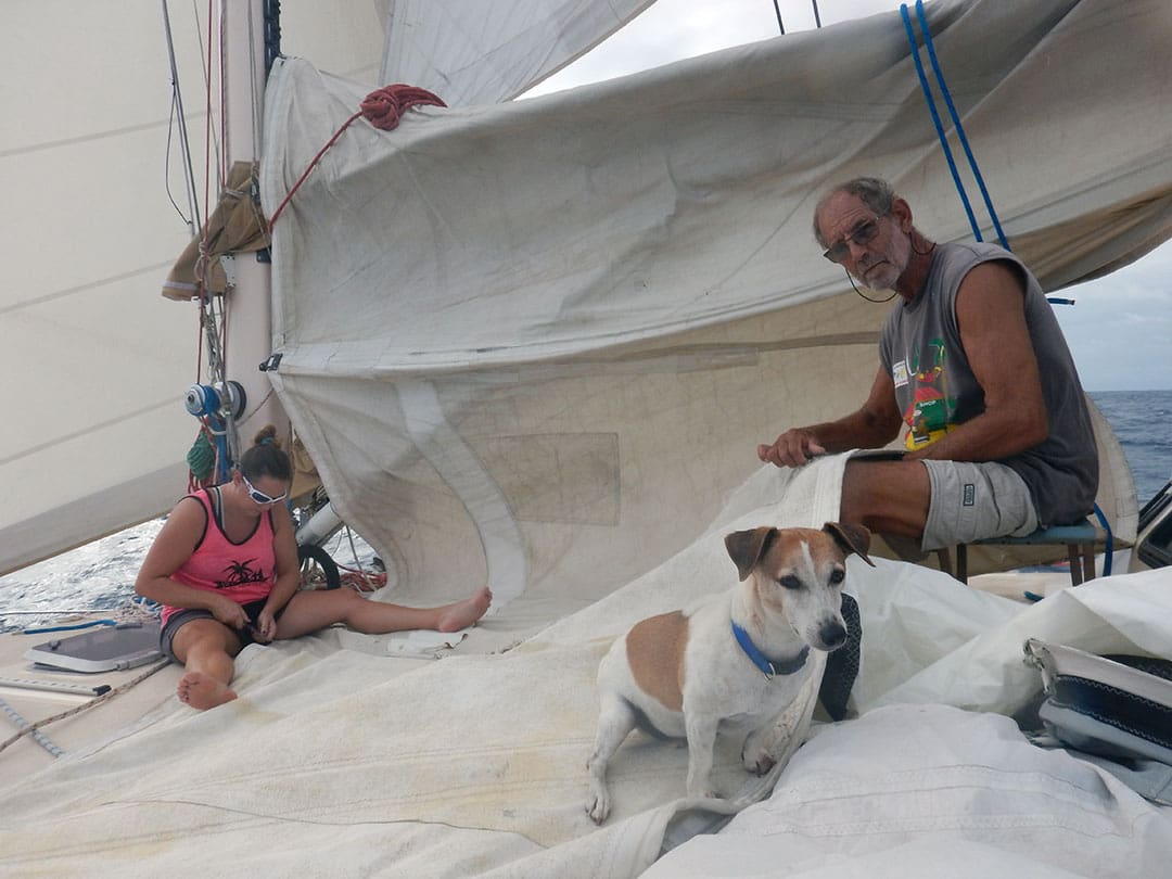
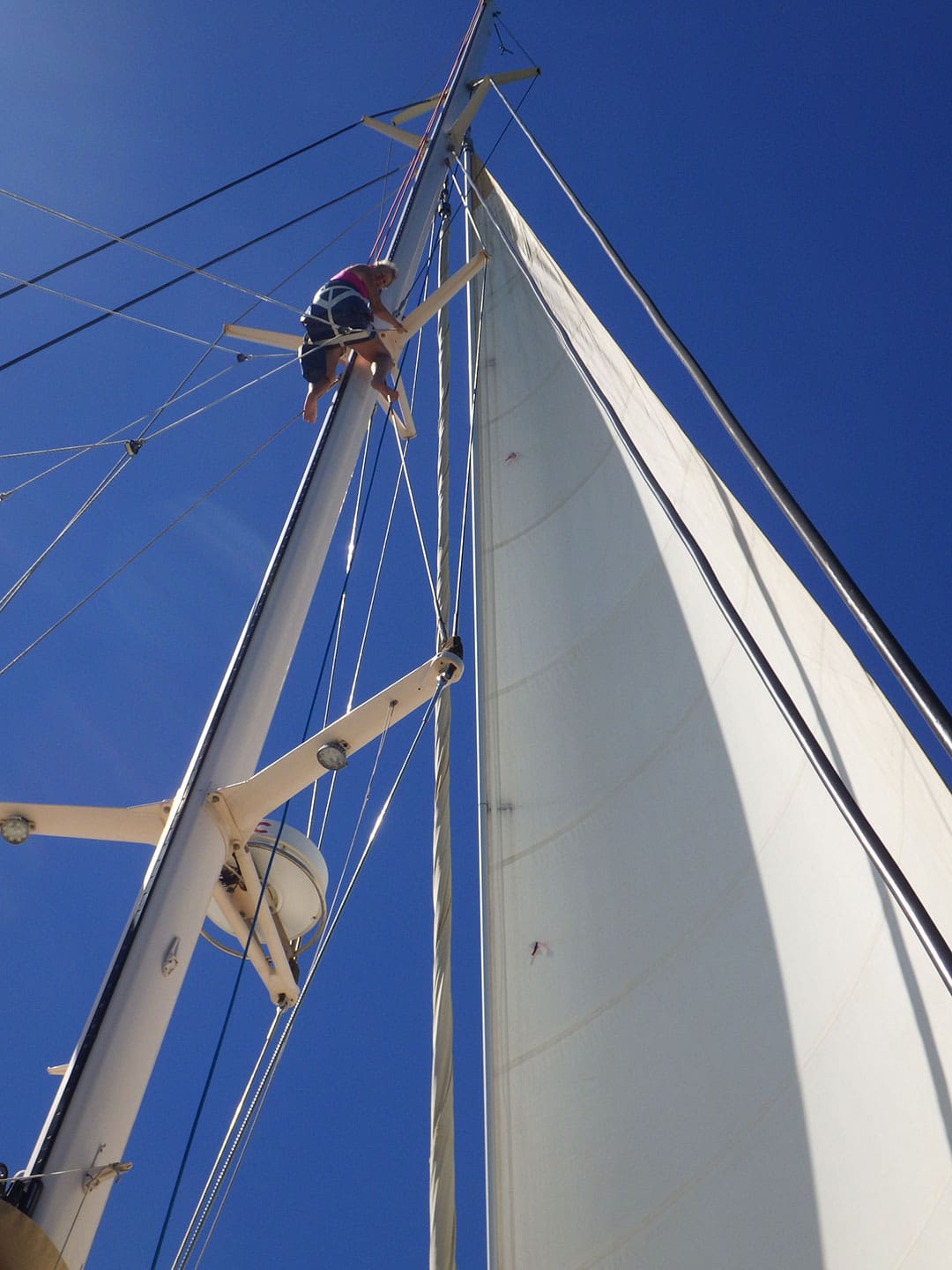
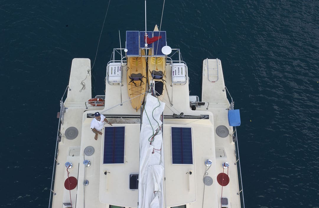
Eric and Lynne Toyer are Australian liveaboards who voyage aboard their 60-foot catamaran Amarula. They completed a circumnavigation in 2019, 17 years after departing from Australia. They are currently in Indonesian waters.
Eric is a former Royal Australian Navy chief petty officer, navy diver and shipwright. He’s also a naval architect and a marine surveyor. He’s achieved the rating of a Master 4 in National Maritime Operations, Master of Harbour and River Steamers and Marine Engine Driver II. He designed, built and operated three prawn trawlers spanning a 25-year period with experience in Australia, the Middle East and East Africa.
Lynne has a Bachelor of Education Degree in Primary Education and a Royal Society of the Arts Certificate as a Teacher of English as a Foreign Language, with teaching experience in the UK, Japan, Indonesia, the US and East Africa. She has attained the Coxswain Certificate of Competency (National Maritime Operations Certificate II) and was the administrations director for a fishing company in Tanzania. She also was the chief administrator and project manager on the Amarula catamaran-building project in Australia.

OV: How do you approach the subject of safety? Has your experience staying offshore affected your thinking on safety?
ET: Having spent my entire adult life at sea, in the navy, boatbuilding, fishing or in some other role within the maritime industry, and growing up in a boatbuilding/seafaring family, I am very aware of the power of Mother Nature and the havoc she can wreak. Prior to sailing around the world on our catamaran I redeployed my fishing trawler from Australia to the Red Sea, Arabian Gulf and eventually to the East Coast of Africa.
Detailed passage planning and provisioning are essential elements of success. There is always an element of risk in any passage. Never take a passage time for granted, never take unnecessary risks and plan your destination arrival for the morning/forenoon to an unfamiliar destination. We have hove to on a number of occasions rather than enter a port at night or a lagoon on the wrong tide. Be familiar with the tides and currents and the influence they can have on entry.
OV: What planning do you do for a possible medical emergency? Did you receive any medical training before you began voyaging?
E<: We both hold certifications in Marine First Aid for Seafarers and upgrade our skills every three or so years, as per our commercial shipping tickets. I am a Master 4 and Lynne is a Coxswain. Both of our skipper certifications are renewed every five years. We keep a well-stocked first aid kit and medical cabinet onboard for emergencies in remote locations, and are both trained in basic first aid. We usually subscribe to an offshore medivac and health insurance policy, in the event that we cannot deal with a medical emergency, and carry satellite communications with SOS GPS to alert the appropriate organizations.
OV: What type of life raft do you have? What do you have in your abandon ship bag?
E<: We began with two RFD eight-person life rafts when we set sail from Australia in 2002 across the Indian Ocean back to Dar es Salaam, Tanzania, where we had a marine consultancy business. We built our catamaran to Australian Survey standards for 12 overnight or 30 day passengers and we carried all required safety equipment onboard, as per the Australian regulations. We lived aboard and operated yacht charters alongside our marine consultancy business.
We put our RFD life rafts into RFD in Cape Town for service in 2011. It turned out they were Plastimo rafts in RFD-branded valises. RFD refused to service them so we took them to Viking, who were the service agents for Plastimo. They were both inflated in our presence and looked as good as new and were to remain at the Viking facility until we were ready to set sail again. Three weeks later they called to tell us that all the glued seams had failed!
As we were no longer chartering, and with usually only two of us onboard, we replaced the rafts with a single six-person Viking RescYou raft in Dec 2011. Since then we have sailed from South Africa to Namibia, St Helena, Brazil and the Caribbean, where we spent four years. In January 2016 we transited the Panama Canal and sailed to French Polynesia, Cook Islands, Tonga and Fiji. Over the next few years we sailed to Vanuatu, the Solomon Islands, Papua New Guinea, Indonesia and the Philippines.
We spent the last two and a half years in the Philippines due to the pandemic and lockdown, then in 2021, whilst doing a refit in Cebu we noticed a rust streak emanating from the Viking life raft canister. As there was a Viking service center in Cebu, we contacted them to service our life raft. When we attempted to remove it we found that the canister was full of rainwater and was too heavy to remove and/or deploy. There are drain plugs in the canister that apparently should have been removed on installation. For some reason the plugs had been left in.
In an emergency we would not have been able to deploy the life raft! Although we contacted Viking to advise them of this condition, which could be a matter of life and death, we were disappointed that they did not, in our opinion, adequately address the issue and turned it into a blame game. Our observation was that the sealing material surrounding the hole in the canister where the raft is vacuum packed had rotted, since our last inspection, allowing water to enter. This hole was placed in a depressed groove that strengthened the canister and also was under the packing strap and therefore not visible. Rain water should not be able to enter the canister under any circumstances.
All in all, very disappointing, and a major concern, as the life raft is there for life and death emergencies.
Our abandon ship bag contains our flares, EPIRB, extra VHF, torches and medical supplies, extra water and food. In addition, we have a 11.5-foot inflatable hard-bottom dinghy with a 15 horsepower outboard.
OV: Do you have an EPIRB, PLB or a tracking/messaging device like an InReach or SPOT?
E<: Yes, we have a 406 EPIRB with GPS. We also have an IridiumGo! satellite hotspot with data and voice capability, which we subscribe to on passages for weather updates, tracking, communications and emergencies.
OV: Do you use actively use radar for collision avoidance?
E<: Yes, we have both radar and AIS for collision avoidance. As a former trawler operator, radar was our first navigation aid. By going to maximum range, radar is an excellent tool to see and measure the speed, intensity and approach of rain squalls. It is also an excellent tool for approaching ships and when entering anchorages at night. However, it takes considerable time to learn and understand the gain, clutter and tuning of your radar to get the best performance.
It is mandatory for yachts to have AIS in Indonesia but it only gives collision avoidance if other vessels have an operating AIS. When entering Indonesian waters on our passage from Papua New Guinea we counted more than 60 well-illuminated fishing vessels miles to starboard: Radar showed the vessels but there were no AIS targets.
If at all possible, we avoid sailing coastal waters in many countries at night due to the many small, unlit wooden fishing vessels that are difficult to see on radar. Also, there are many unlit fish aggregation devices (FADs).
When sailing in West Papua waters we experienced many, many fishing vessels, well offshore, anchored to long lines. We enquired with Customs when we visited Fak Fak and it was explained that these vessels deploy up to 100 floating rafts, approximately four feet square, in lines up to one-mile-long, made of woven palm fronds. These rafts attract flying fish,which lay their eggs in them. This roe is collected and sold to Chinese buyers for $70 US per kilogram, so it is quite lucrative. The lines are deployed with a marker on the upwind end and the boat moored downwind, and can be 20 nautical miles offshore in oceanic depths. The only way through these rigs is to sail directly downwind from upwind marker to downwind vessel.
OV: Do you have an AIS unit on board?
E<: Yes, we have AIS onboard. Prior to coming to Indonesia in June 2019 we used radar for collision avoidance and also for indications regarding weather, especially squalls at night. As stated previously, AIS is only beneficial if the other vessels have an operating AIS. It is our belief that the benefits of AIS are overstated. Experienced use of radar is, in our opinion, more useful.
We designed and built our catamaran as a stand-alone vessel for remote offshore sailing, as we were working in Tanzania at the time, and to our knowledge there were no emergency services available or Maritime Rescue Coordination Centers (MRCCs) anywhere along the East African coastline, so we knew that, in an emergency, we would very likely be on our own.
One thing we would advise when sailing offshore is not to expect the same kind of rescue services that you find in more developed regions like Europe, the US or Australia. Ensure that you keep your emergency contact details, connected to your EPIRB and other safety equipment, up to date with your marine authority, so that emergency services can assist if necessary.
The IridiumGo! and certain other devices these days include an SOS button and a link to the International Emergency Response Coordination Center (IERCC) for emergency monitoring. You register with your contact information and medical instructions. Should you ever find yourself in a life-threatening situation, this service gives 24/7 worldwide emergency response coordination when you press the assistance button.
In 2018 whilst in the Solomon Islands a yacht we had recently met was hit by lightning and sank. Their EPIRB went off and was picked up by the UK MRCC who contacted the local MRCC. About 12 hours later we were contacted via our Facebook page by UK MRCC asking if we knew the vessel in question and their whereabouts. They said they had picked up the EPIRB signal and followed through, but the signal was still transmitting, and the yacht’s crew had not been picked up. We put word out to friends and marine businesses in the region and soon heard calls going out via VHF radio. We did not rest until we knew that the crew, who had been floating in their life raft for about 16 hours were eventually picked up. When the local MRCC were later questioned, they admitted that they had not deployed their vessel! I am unclear as to the exact reasons for this, but the yacht crews’ lives were only saved by the fact that the UK MRCC had the foresight to contact us and, once word was out, thankfully a local ferry operator located them and brought them to safety.
OV: What types of weather data do you use on your voyage? How do you gather weather information?
E<: We do our best to plan our passages according to the seasons and weather patterns, avoiding cyclone/hurricane/typhoon seasons wherever possible. We have a basic PredictWind package that comes with an active IridiumGo! subscription.
In addition, prior to departure, we pick up weather forecasts for the length of our passage.
On longer ocean crossings in the past we had a Sailmail subscription which enabled us to pick up Grib files, which could then be overlaid onto our OpenCPN navigation program on our laptop. Most of our voyages since crossing the Pacific Ocean have been relatively short. If we were planning a longer voyage, however, we would probably upgrade our PredictWind package to the more detailed forecasting option.
Planning passages when the winds are predictable is by far the best option. We have circumnavigated over an extended time frame. Using the equatorial SE trades to cross the Indian Ocean gives a comfortable semi-downwind passage. Once out of the tropics use the variable winds as predicted. The South African coast can be challenging but choose a suitable weather window and sail from bolthole to bolthole, then wait for the next window. On the west coast of South Africa to Namibia, wait for the SE or SW window to sail up the coast with the Benguela Current. Once at Walvis Bay wait for a window to get offshore then pick up the SE trades to Brazil, then onto the Caribbean where the winds are variables of the SE Trades. In the Pacific pick up the SE Trades and hopefully the current to assist.
Currents play a big part in passage planning. For instance, the East African Current flows west and splits at Cabo Delgado on the southern border of Tanzania where it splits to run north and also run south from this latitude of approximately 11 degrees south. At approximately 17 degrees south we experienced up to four knots of south-setting current.
Jimmy Cornell’s book World Cruising Routes gives good insights into the world’s seasonal winds and currents.
OV: Do you use a weather routing service?
E<: Not on our most recent passage, which was less than a week away from cyberspace, but we have used a weather routing service on previous passages, such as Tonga to Fiji at the start of cyclone season in December 2016 and also on our Pacific crossing from Panama to the Marquesas, French Polynesia earlier in 2016.
Back in 2002 when we crossed the Indian Ocean we connected with Allan Riches of Brunei Bay Radio for weather routing via Sailmail email.
OV: What are your future voyaging plans?
E<: We have lived aboard since launching our vessel in July 2001 in Australia and after a period of working back in the marine industry in East Africa from 2002 to 2006 we sailed around the western Indian Ocean from northern Kenya, down the east coast of East Africa and across to Madagascar.
In late 2009 we sailed from Tanzania to South Africa, where we spent two more years, then we slowly continued our circumnavigation. In June 2019 we crossed our original track at Cape York off the northern tip of Australia en route from Port Moresby, Papua New Guinea to Tual, Indonesia, 17 years after setting sail from Australia to Tanzania. For now we are sailing around Southeast Asia whilst our dogs are both still with us, as it is problematic returning to Australia with them. Pre-pandemic our plan was to fly to and from Australia and UK to visit family, and have family visit us onboard at various locations in SE Asia. Meanwhile, our boat is for sale as she is bigger than we need, but until we sell her we will continue to make the most of our wonderful lifestyle. ν