Certain harbors are gathering places for sailors headed offshore. Back in the good old days I met a lot of fellow cruisers while arguing about the weather as we holed up waiting for a weather window to jump offshore. The sources of information were few — pretty much everyone shared the same data. Here in the USA the main sources were NOAA Coastal, Offshore, and High Seas text forecasts, gathered by weather fax, VHF and SSB radio. Sometimes we downloaded small-scale (large area) weather maps that gave us very general information on huge areas of ocean. And sometimes we just…

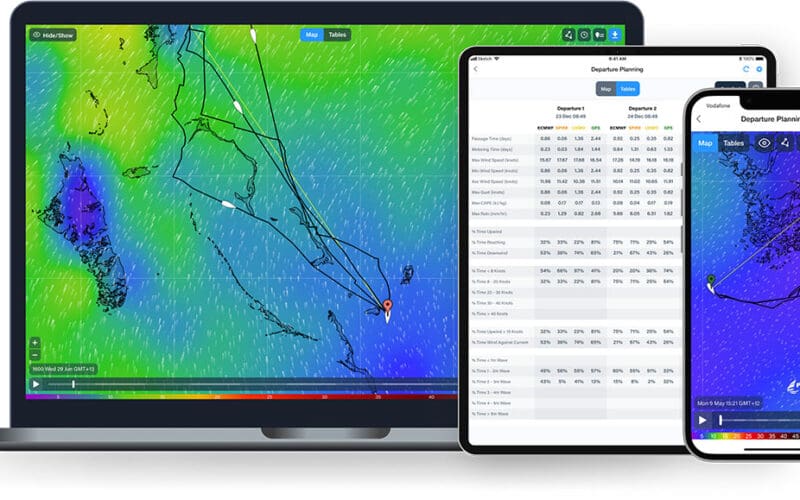
The preceding article provides detailed information about many apps for smartphones, tablets and laptops to help ocean voyagers with passage planning. These apps bring the output of mathematical models of the atmosphere to mariners in a useful, widely used format. Since mathematical models are the core of these apps, it is worth discussing the general theory behind them. The forces that dictate atmospheric motion in three dimensions depend on differing amounts of incoming solar radiation around the globe, the differing nature of the earth’s surface, the rotation of the earth, the temperature and density of air, the changing amounts of…

Examining a recent Atlantic storm offers some insight Ocean-going mariners have many sources for weather forecast information these days, and thanks to the internet and satellite communication technologies, these resources are readily available both ashore and at sea. Improvements in the science of weather forecasting have allowed longer and longer-range forecasts to be produced in recent years to the point that 96- and 120-hour (four- and five-day) forecasts are now routinely available, and even longer range forecast information can be accessed. But it is worth asking the question: How reliable are these forecasts? To answer this question, let’s look at a recent…
One of the most powerful tools meteorologists use in their work is the computer model of the atmosphere. These models use mathematical representations of the existing physics of the atmosphere, and step forward in time to provide plausible forecasts for various weather parameters for the future. Because of advances in the understanding of atmospheric physics, better methods of observing the atmosphere (assessing the initial conditions for each model run), more sophisticated modeling techniques, and more powerful computers, the models have shown significant improvement in predictive power over the past few decades. They are certainly not perfect, but they are able…

BY PETER ISLER Weather models and their digitized end product, the GRIB file, are key facets of weather forecasting. An understanding of these elements will help any voyaging sailor to better decipher the weather. When I was in college, I was primarily a dinghy sailor and was just getting started in offshore navigation and race tactics. I knew how to read a weather map and listen to the marine forecast on the VHF radio, but beyond that I just took what Mother Nature gave me. In college, I majored in meteorology since it was the closest subject I could find…

